Release date
Field activity in the Poker Flat Research Range, Alaska
Post Date:
Author: Shunji Kanie (Hokkaido University of Science), Takahiro Abe (Kyoto University), Kazuyuki Saito (JAMSTEC)
For Sub-Theme 1, “Impact Assessment of Permafrost Thaw and Warming on Social Infrastructure,” which is included in the Research Theme “Land Life Environment,” our research focuses on how recent environmental disturbances affect permafrost thaw under global warming.
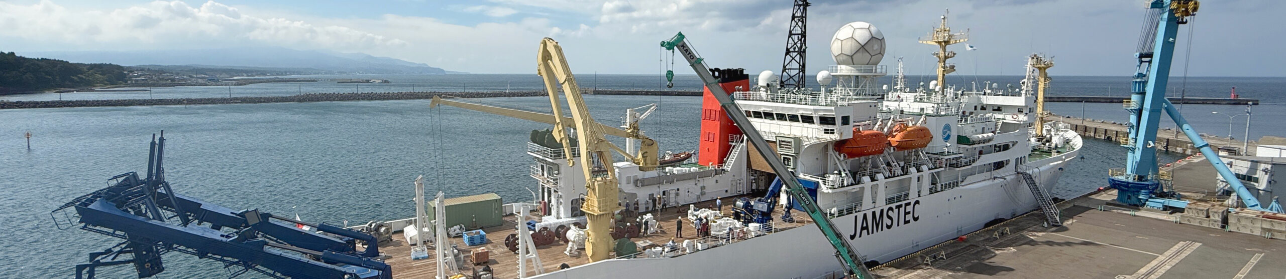
The selected study area is the Poker Flat Research Range (University of Alaska Fairbanks), an observation site located approximately 35 km northeast of Fairbanks, roughly in the center of Alaska (Photo 1). Within a discontinuous permafrost zone, a significant feature of the site is its mixture of various environmental disturbances of different spatio-temporal scales. These include natural changes due to riverine inundation, wildfires and snowfall, as well as anthropogenic clear-cutting associated with the construction, maintenance, and management of research facilities and observation equipment. This environment allows us to observe the complex, compounding effects associated with global warming and anthropogenic impacts.
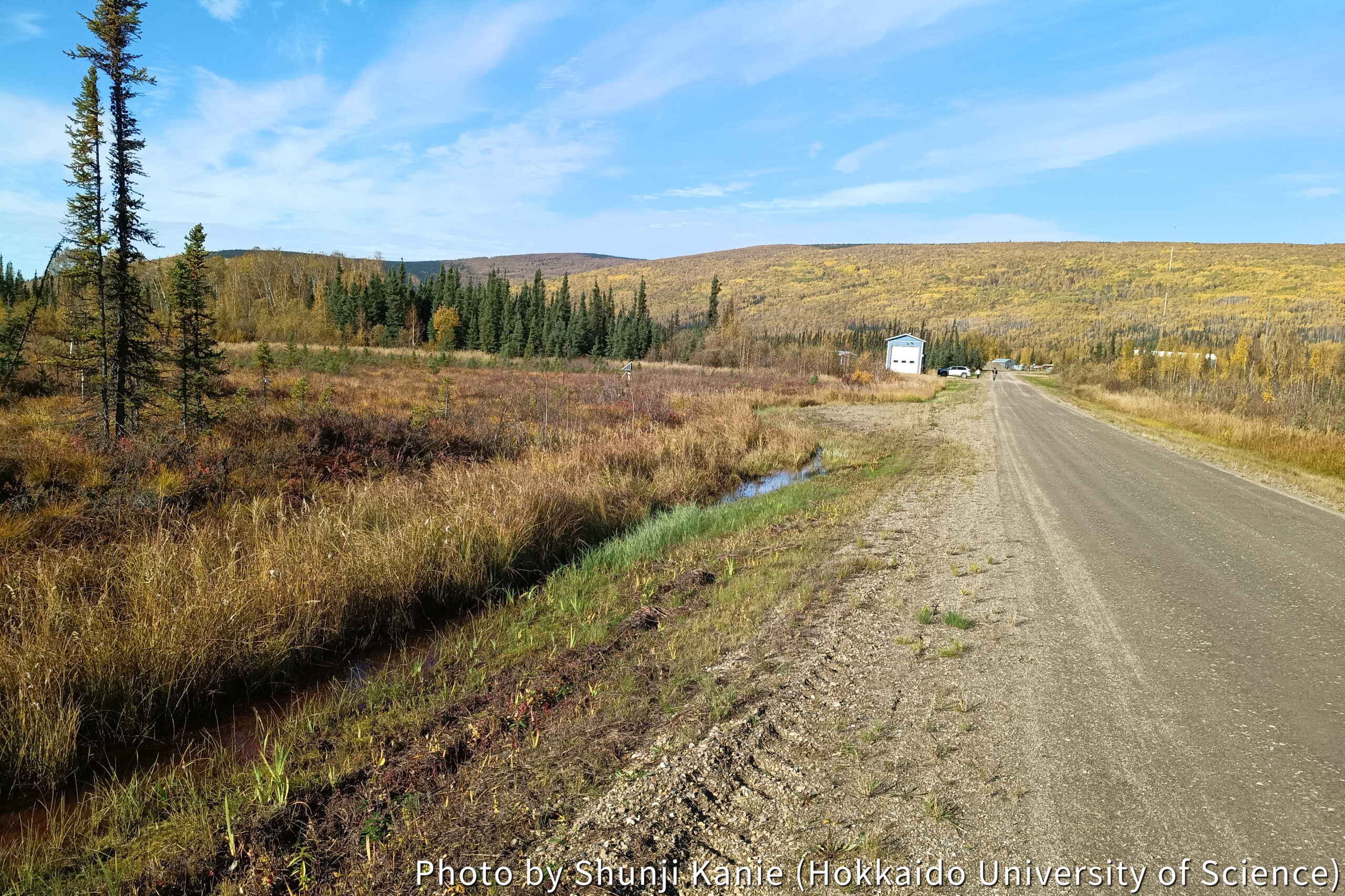
Field surveys began on September 15th. We anticipate that the thaw depth of the permafrost will be at its maximum from this period until the end of September. We are working to gain a current understanding of the permafrost by establishing multiple observation lines to measure thaw depth at 10-20 meter intervals, along with measuring soil moisture content.
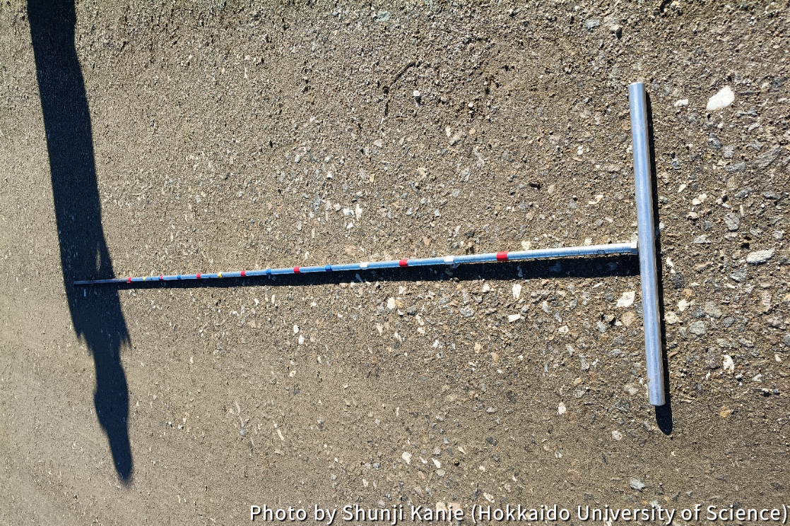
The standard method for measuring permafrost thaw depth is probing with a thaw probe (Photo 2). We push the probe, which is up to 2 meters long, into the ground until its tip hits the frozen layer, allowing us to measure the thaw depth. We are diligently measuring the thaw depth through dozens of repetitions of this laborious task, often struggling to keep our footing on the distinctively soft vegetative layer covering the permafrost terrain. We aim to use the observation and measurement results, as well as application of numerical models, for a comprehensive, multi-faceted assessment. This includes evaluating the vulnerability of the permafrost, such as determining where increased precipitation promotes thaw depth, and simultaneously assessing the role of vegetation layer recovery in preserving permafrost in areas affected by wildfires.
For Sub-Theme 2, “Detecting Natural and Human Activity Changes through Advanced Ground Surface Observation,” the objective is to gain insights into the wide-area visualization of ground surface state changes—information not previously obtainable—by analyzing satellite imagery with advanced data science techniques.
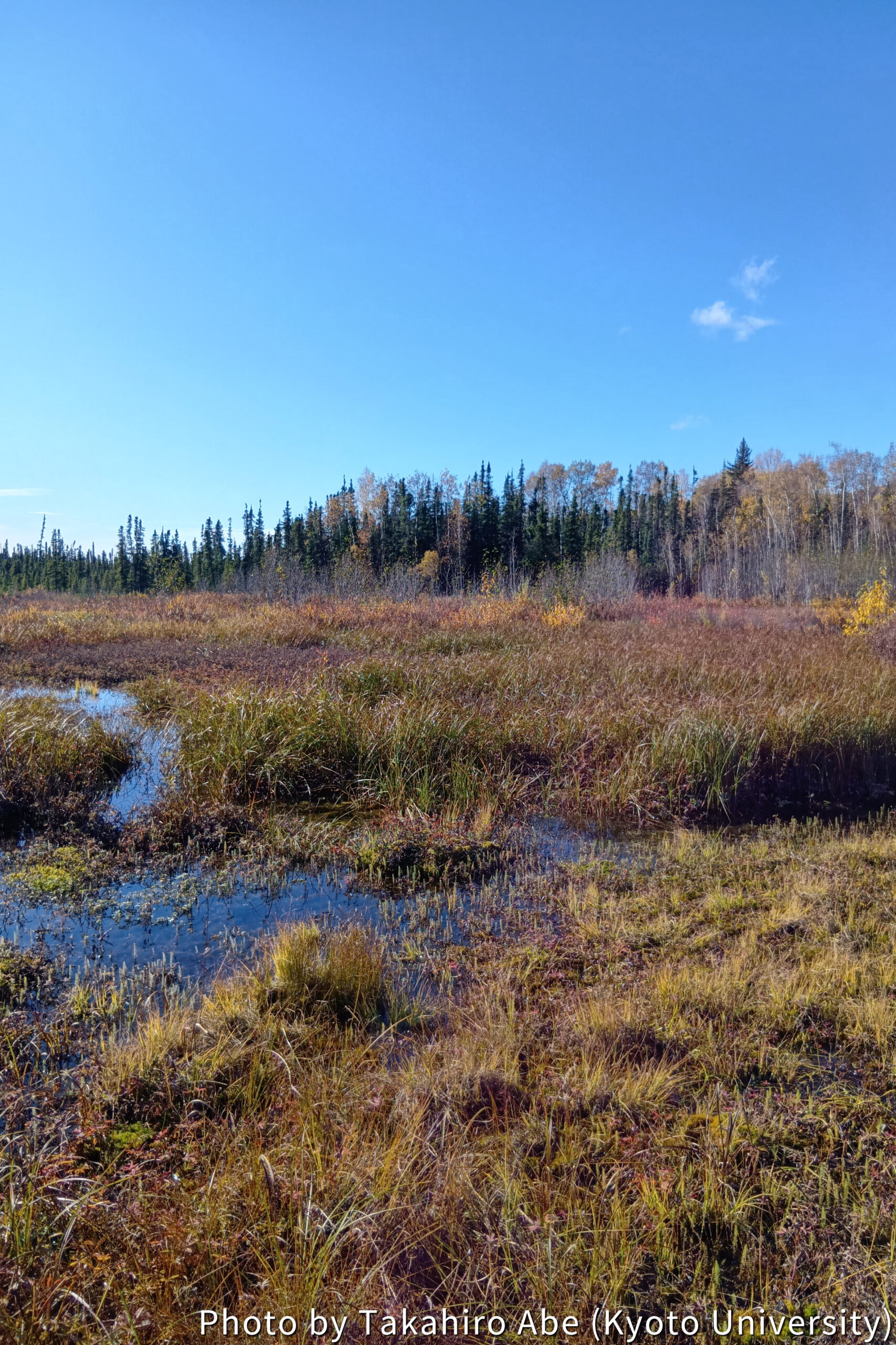
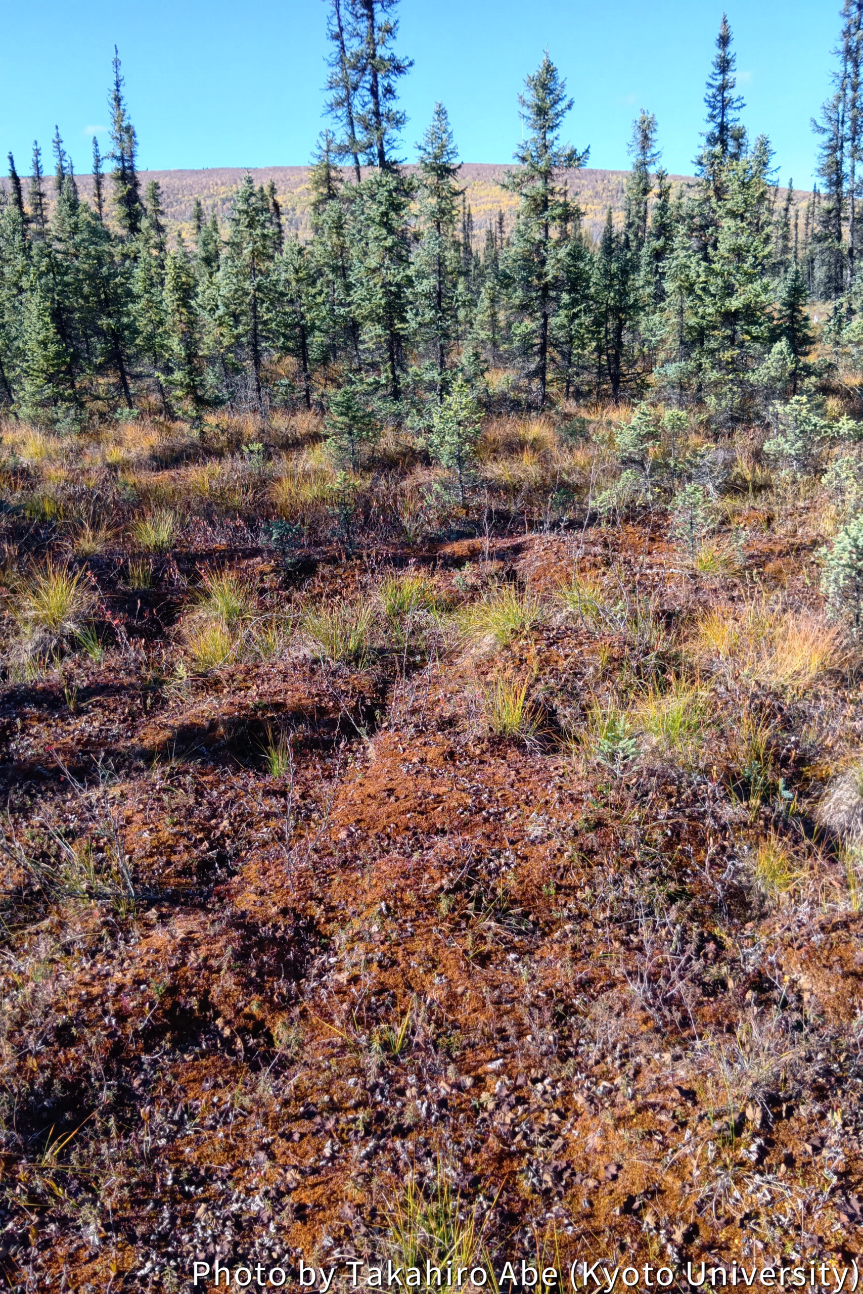
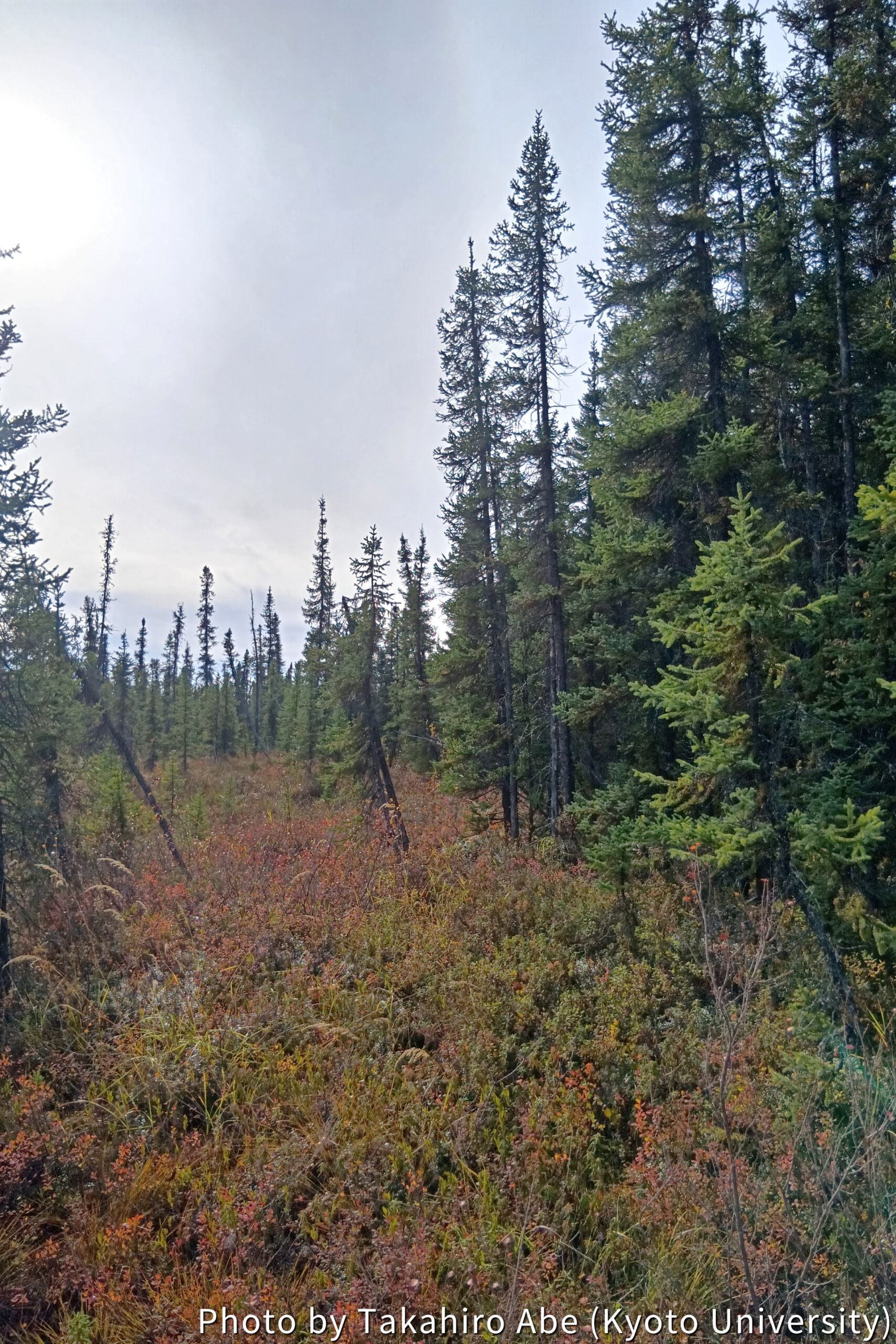
This is intended to aggregate broad environmental change data across the Arctic region. In this study, we conducted a field survey on the relationship between vegetation distribution and the frozen ground environment on permafrost. For instance, in areas that appear as distinctly bright green on satellite optical images, we found few tall trees, but instead, wet-loving herbaceous plants dominated, turning the area into a pond-like environment, with water submerging the ground up to knee height (Photo 3). Near the flux tower, sparse black spruce trees were present, with mosses and lichens visible in the gaps (Photo 4). This suggests that these differences may indicate variations in the micro-environment near the ground surface. Conversely, approaching the Chatanika River to the northwest, we observed a dense growth of large black spruce (Photo 5), a region thought to be mostly free of permafrost.
This variation shows that even within the Poker Flat area, diverse natural environmental factors, in addition to human-induced changes, are creating different vegetation distributions. Based on this survey, we plan to create a vegetation distribution map using AI and investigate its relationship with the actual frozen ground environment.