Release date
Field Research at Qeqertat Village, Northwestern Greenland 2025
Table of contents
Research teams of the sub-theme 3 in the Land Life Environment theme conducted various research observations in Qeqertat Village, Northwestern Greenland from August to September 2025. Please enjoy reports from the research teams along with photos.
Lake bottom sediment coring around Qeqertat
Post Date:
Author: Shuntaro Hata (NIPR)
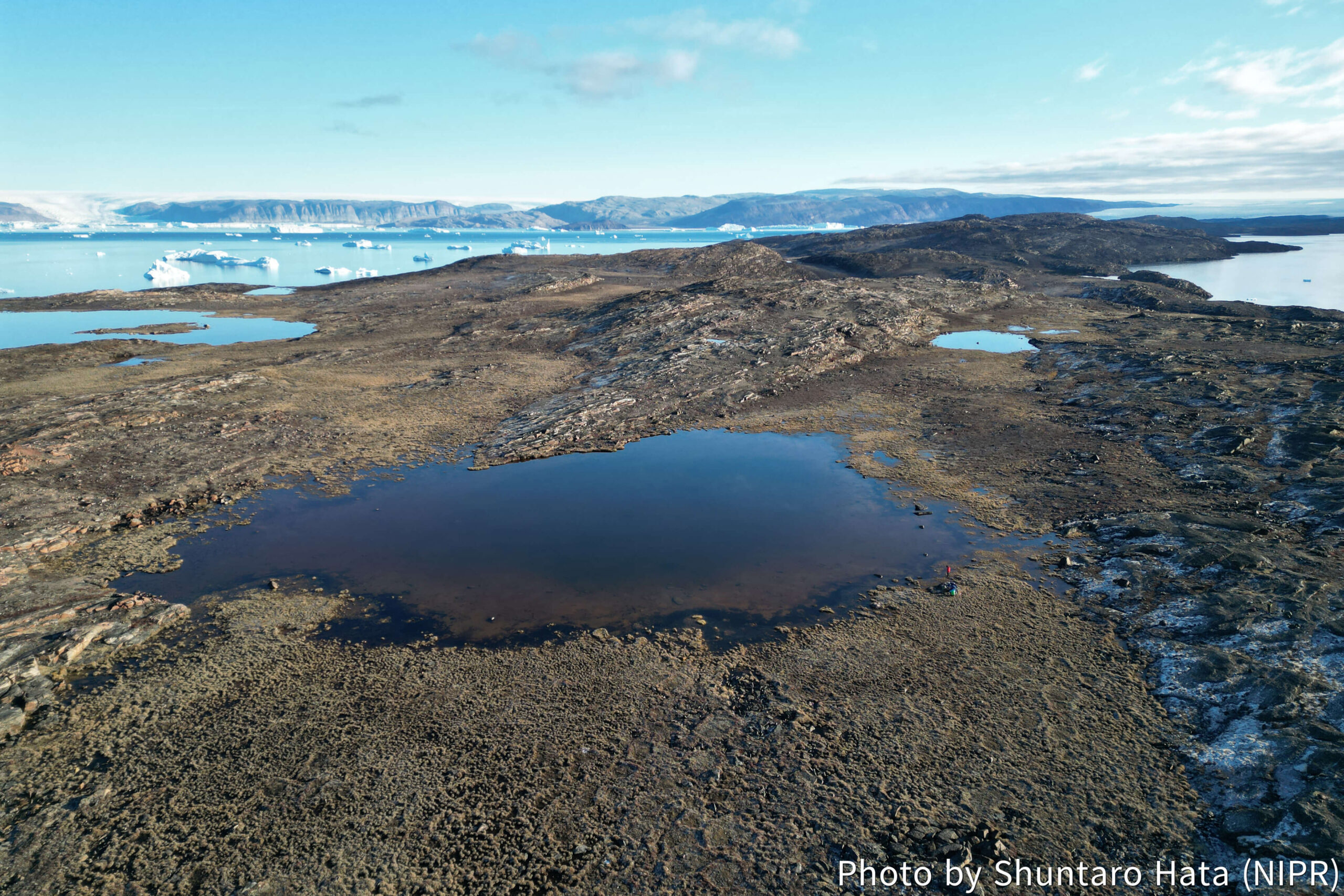
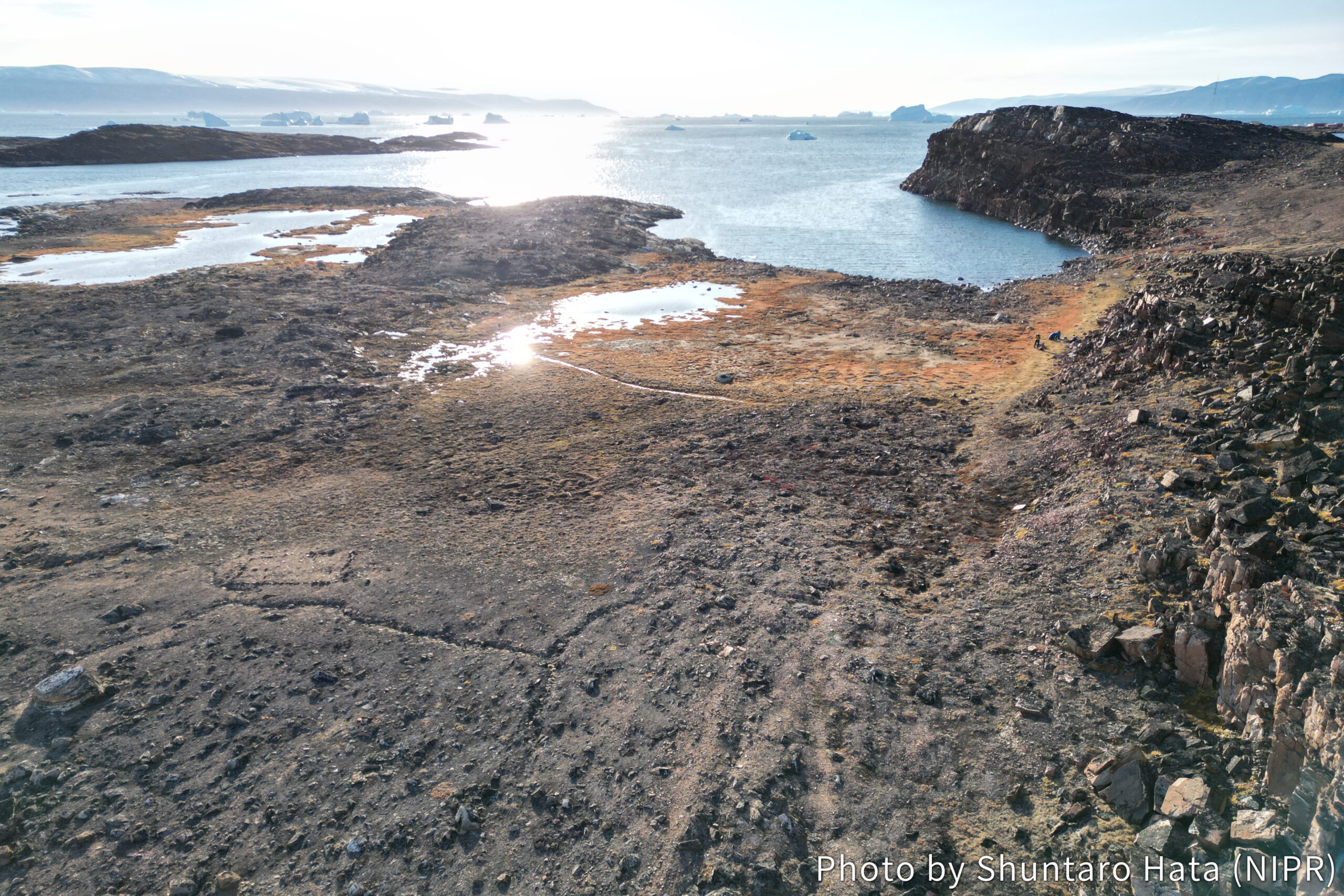
The region where Qeqertat Village is located is currently undergoing uplift. If this uplift also occurred in the past, it is possible that parts of the island were once situated beneath the sea. Around Qeqertat Village, numerous lakes are distributed among exposed bedrock outcrops (Photos 1 and 2). The lake sediments preserve valuable records of past environmental conditions. Therefore, like coastal salt marshes, lake-bottom sediments provide important archives for reconstructing past sea levels and environmental change.
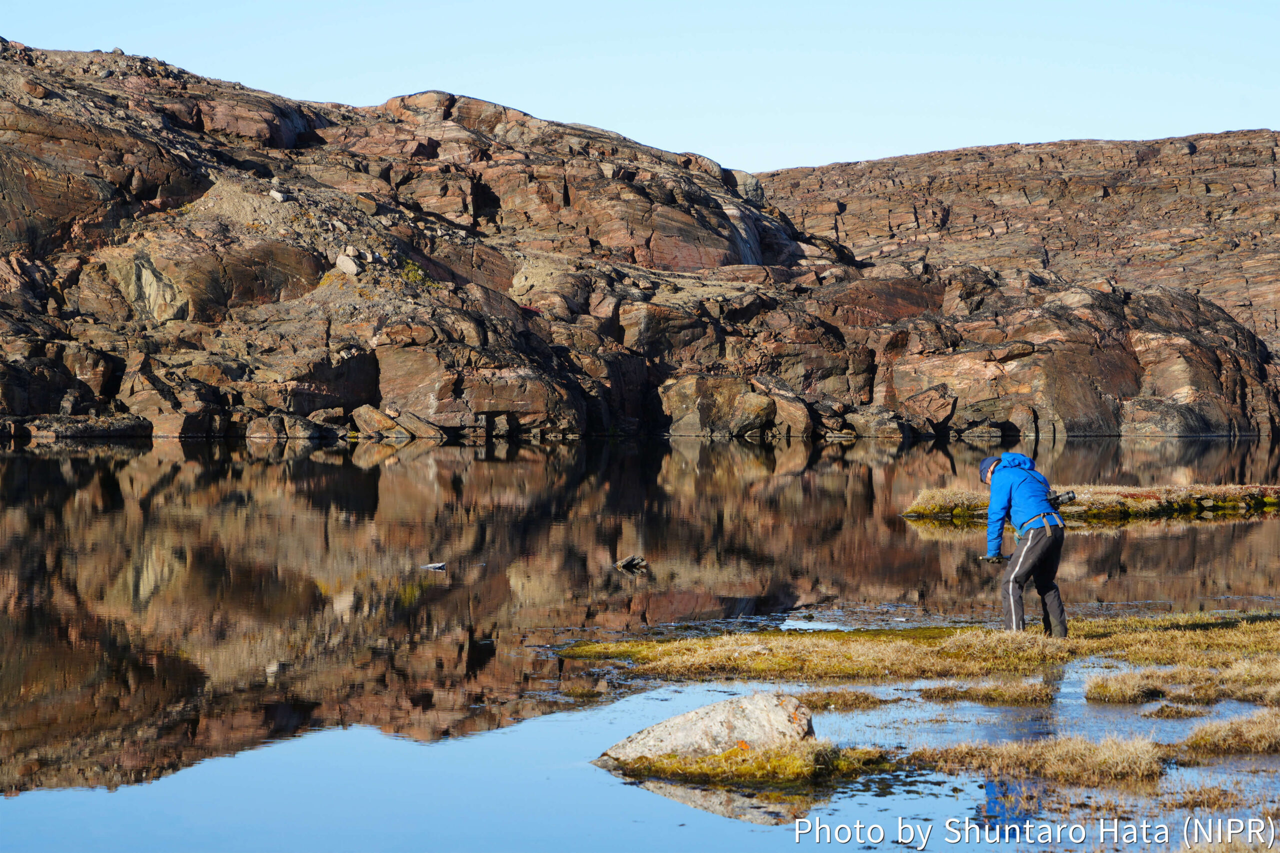
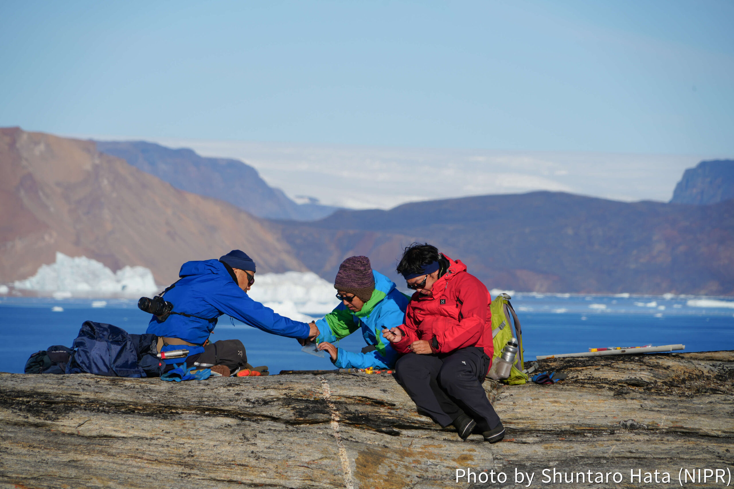
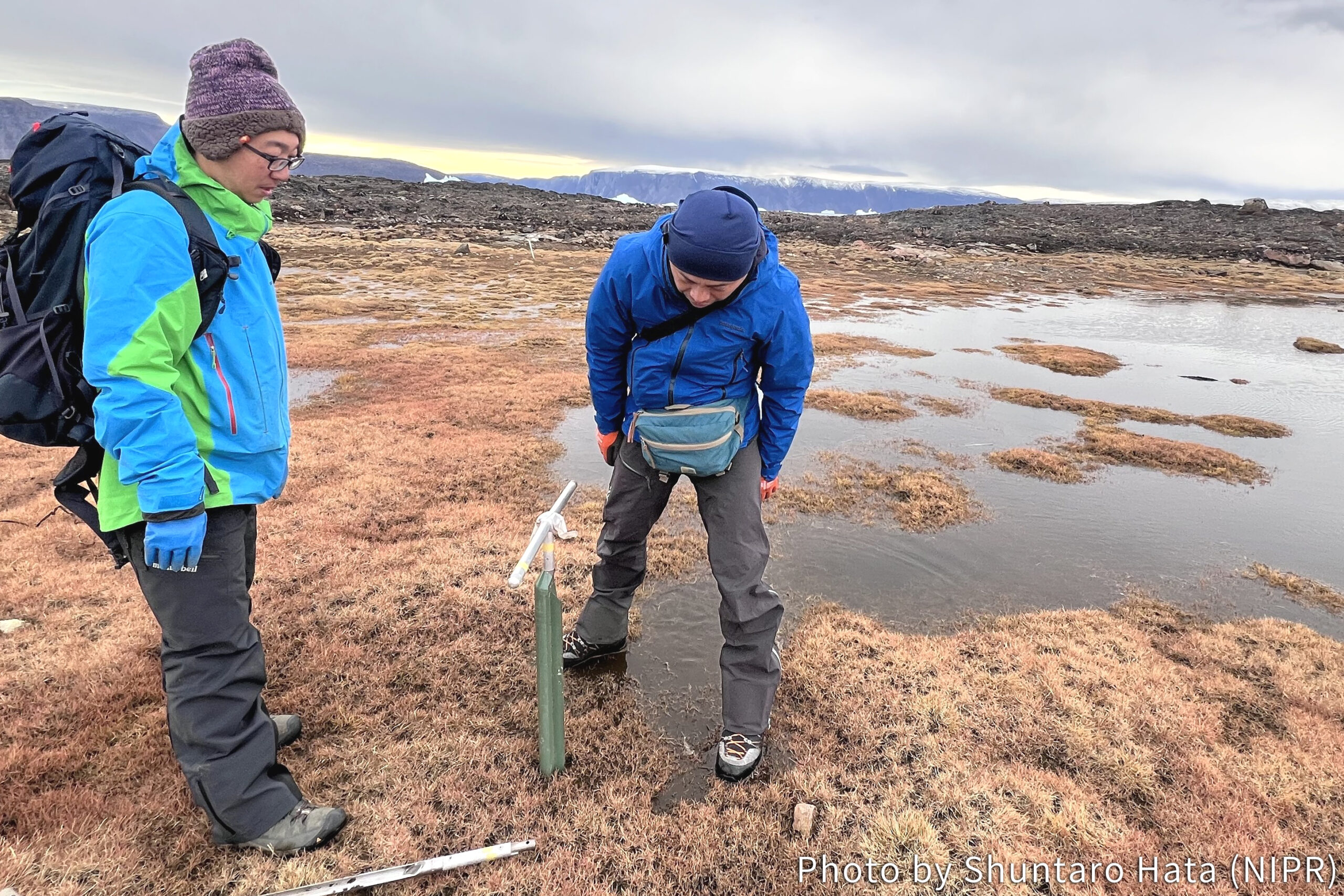
We visited several lakes within walking distance of the village. Lakes of various sizes occur across a range of elevations on this island. We conducted shallow coring along the lake margins using a peat sampler (Photo 3). By inserting the sampler into the lakebed, we extracted sediment cores that preserve layered records of the past. At the field site, we documented the stratigraphy and processed the samples for transport (Photo 4). The exact timescales represented in these cores will be quantified after laboratory analyses, but careful and systematic work in the field is essential for reliable interpretation later.
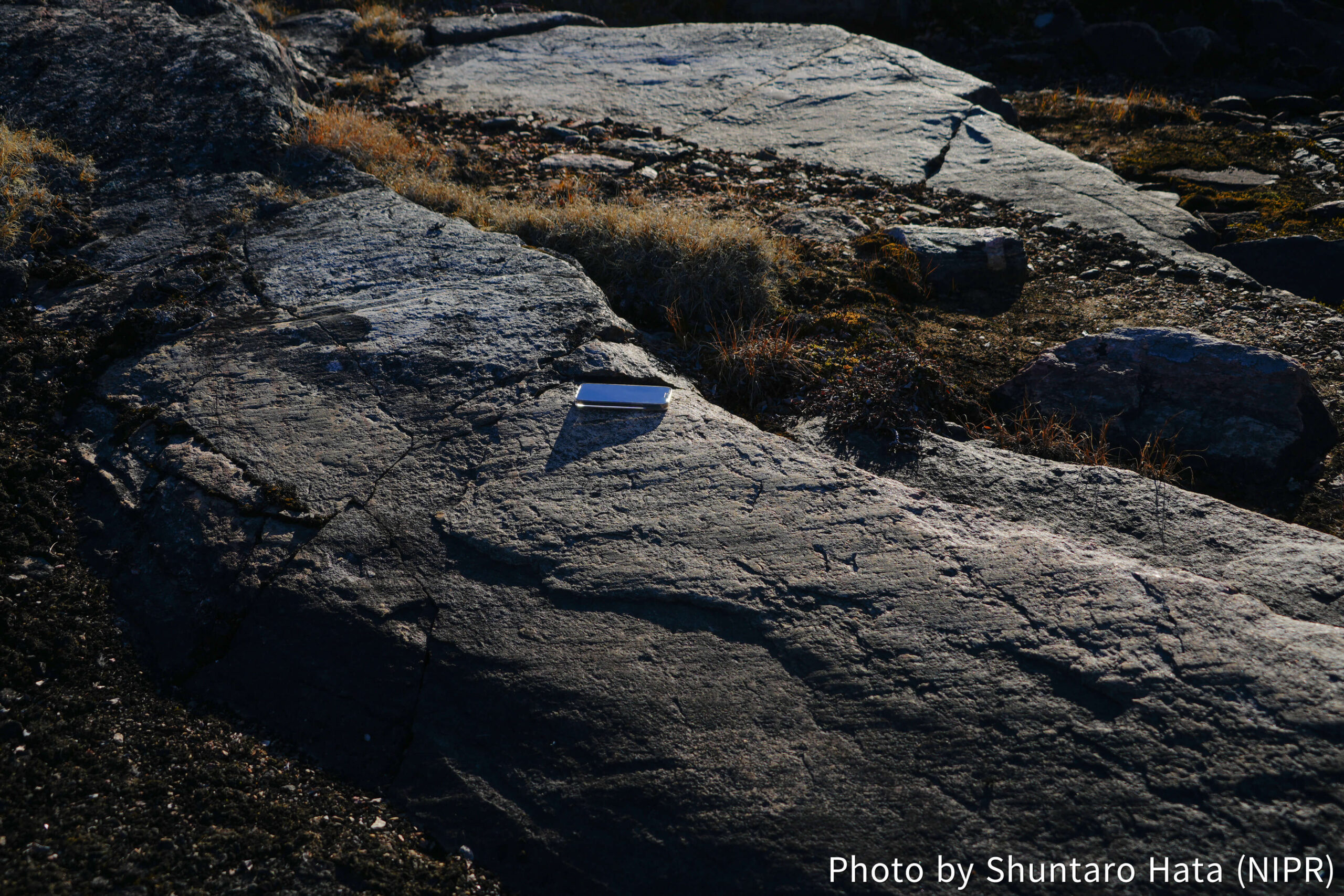
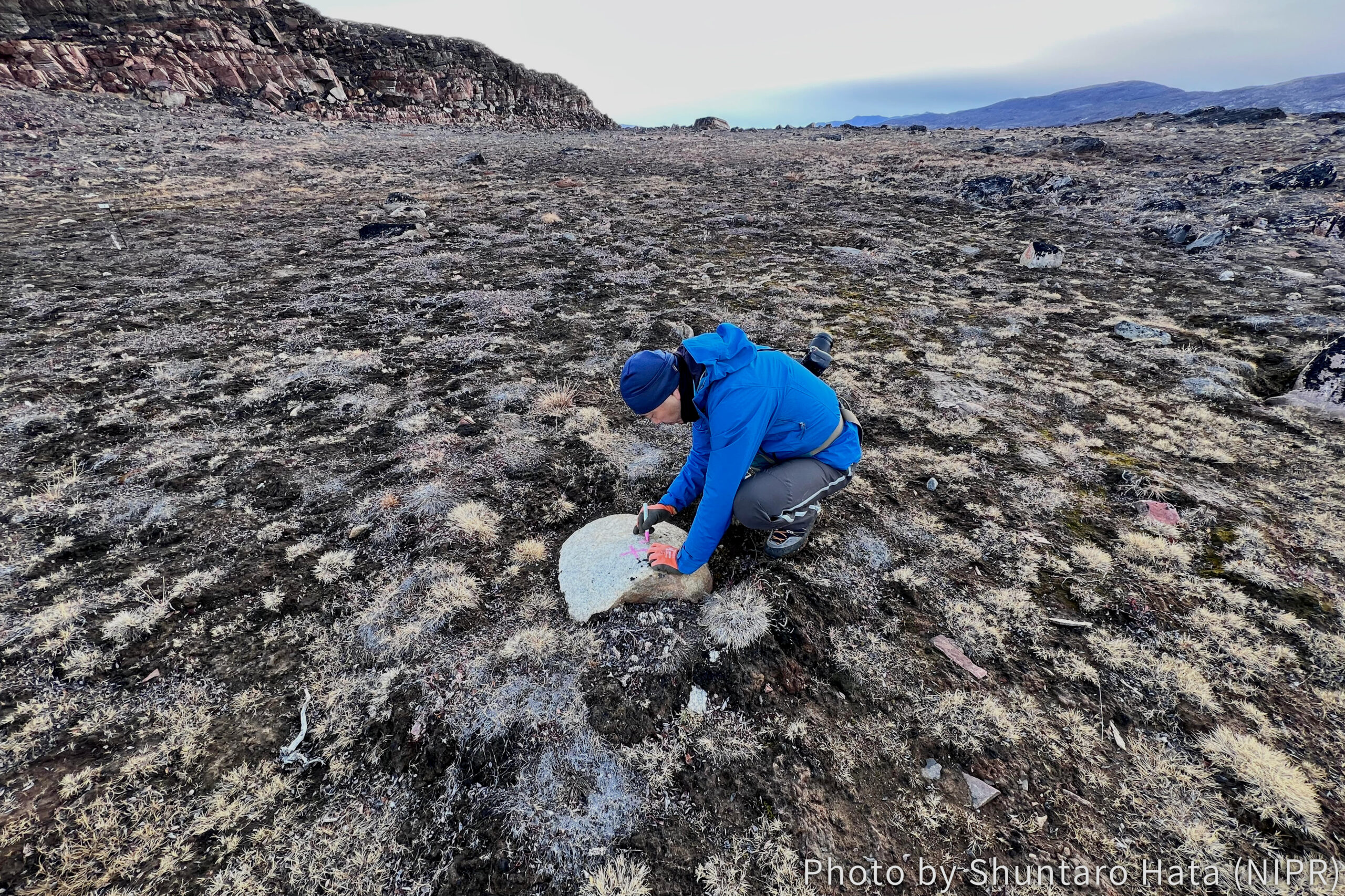
While surveying the lakes across the island, we also identified glacial striations, which are linear scratches carved into exposed bedrock by the movement of past ice sheets (Photo 5). The orientation of these striations is thought to reflect the direction of glacier flow at a particular time in the past. Although glaciers are now visible only in the distance, these traces remind us that this region was covered by glacier. Encounters like this offer an exciting glimpse into geological processes operating over longer-timescales.
Field survey of saltmarsh on southern Qeqertat
Post Date:
Author: Shuntaro Hata (NIPR)
We surveyed a saltmarsh located south of Qeqertat. A saltmarsh is a wetland formed by the rise and fall of tide, and is typically found in low-lying areas near the shoreline. Because Greenland is in experiencing uplift in response to past ice sheet retreat, the present lowlands should have transitioned from an ocean to a land environment. One of our aims is to reconstruct the past sea-level change by analyzing saltmarsh sediments.
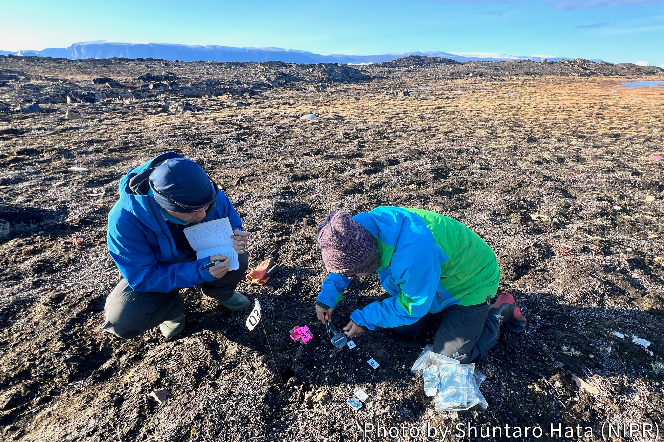
The study site is located about ten-minute walk from the village (Photo 1). We used a Russian-type peat sampler to collect sediment samples. Although the tool is very simple —push in, cut out, pull out— the collected sample looks quite good (Photo 2). The characteristics of samples are immediately documented on site, and the samples will be transported to Japan for further analysis. Additionally, information on the current distribution of which species and materials at different elevations is important for reconstructing the past environments from the sediment. Therefore, we thoroughly sampled surface sediments at various locations and elevations (Photo 3).
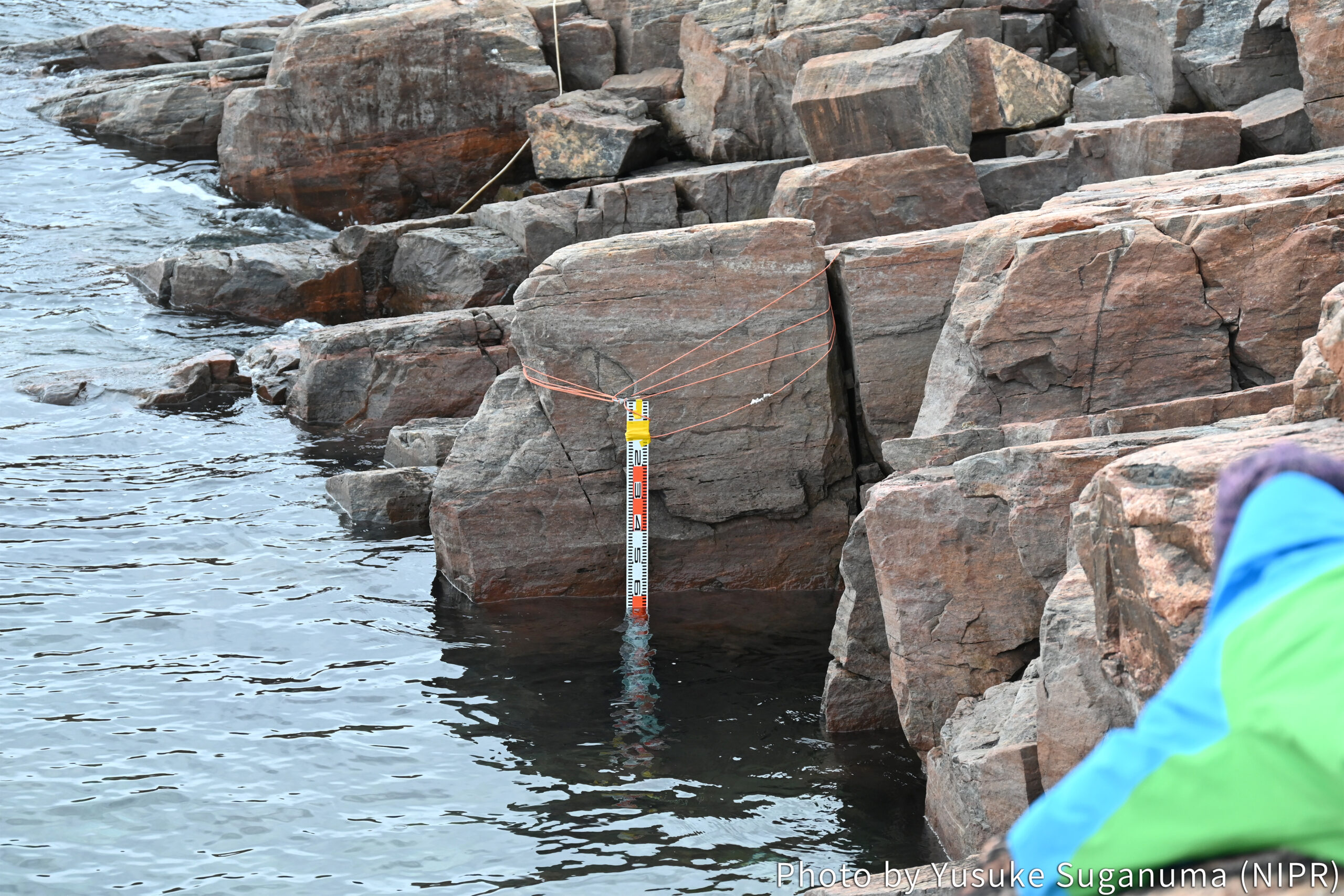
In parallel with sediment sampling, surface elevation of the saltmarsh is measured using by UAV, GNSS, and LiDAR instruments (Photo 4). Combining these methods, we aimed to accurately compare the altitude within a small elevation range. We measured tides along the coast of Qeqertat to determine the present mean sea level (Photo 5). Such basic but essential data are directly collected at the field site. I already feel looking forward to seeing the results though sediment analyzing and data analysis are taking time.
The field site is actually quite close to the village of Qeqertat; the location was a playground for puppies of Greenlandic dogs. We did our fieldwork surrounded by curious puppies who seemed to think we were there to play with them.
Arrival at Qeqertat Village!
Post Date:
Author: Shuntaro Hata (NIPR)
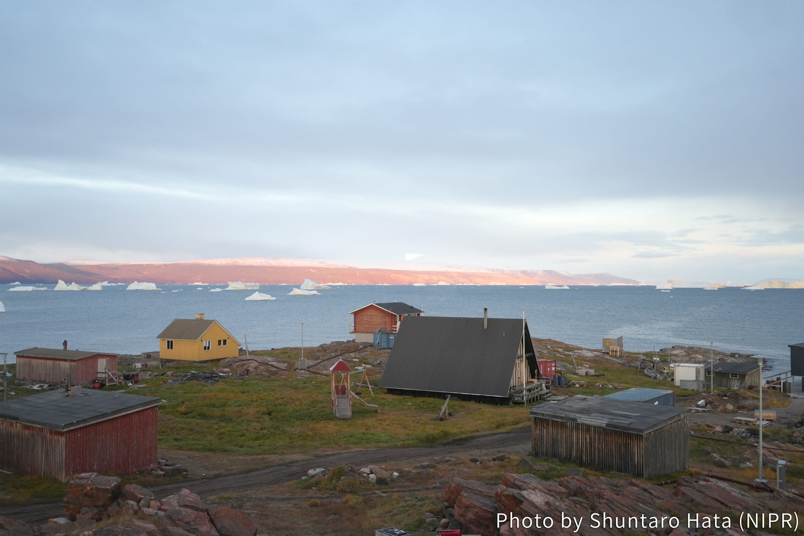
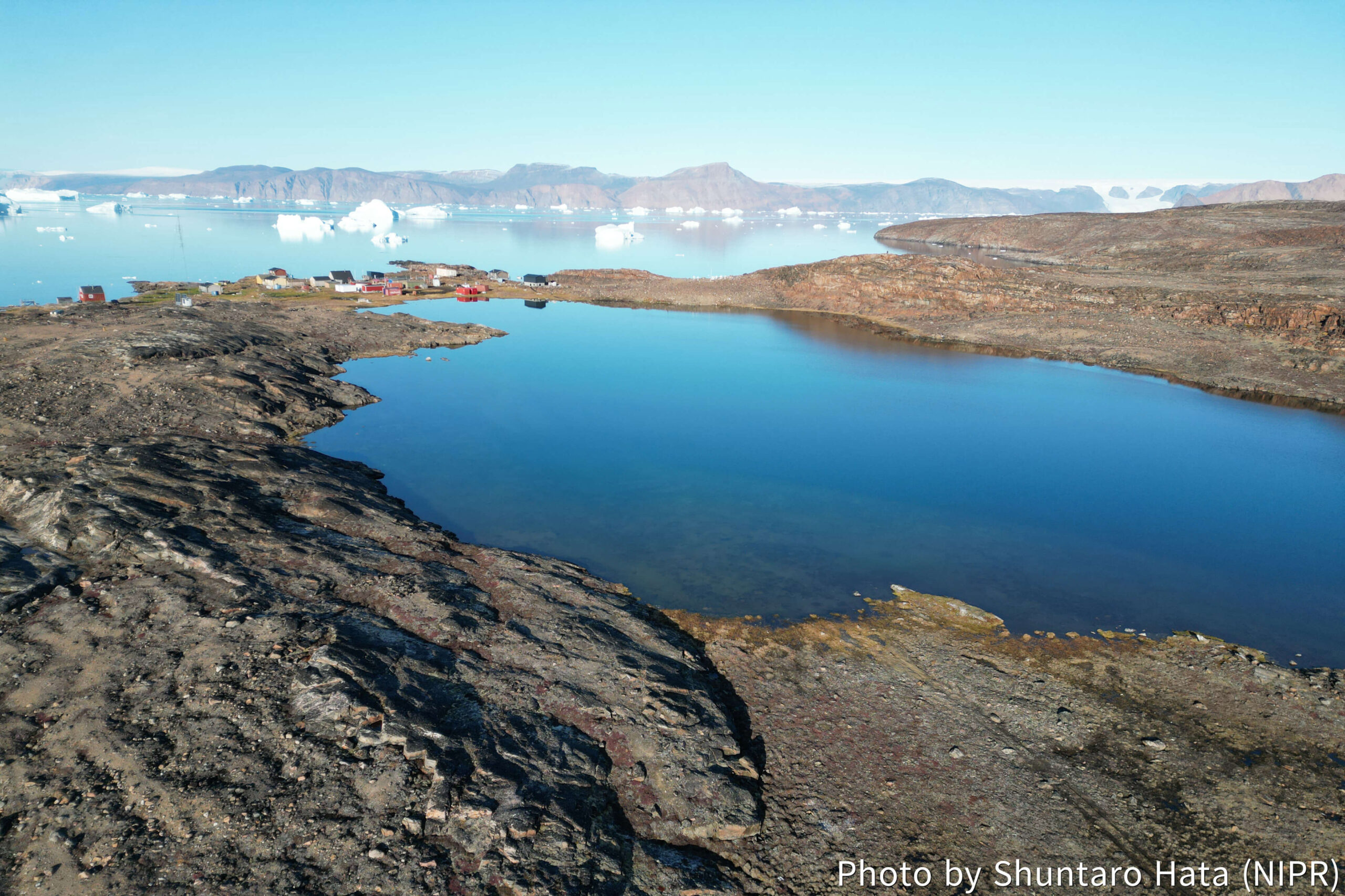
For sub-theme 3: “Sea level projection” in the Land Life Environment theme, we aim to provide detailed regional projections of sea level rise in the Arctic through field surveys and numerical simulations, aiding in the formulation of coastal social policies. The reconstructions of past regional sea level changes from glacial landforms and lake/marine sediments provides essential information for making accurate projections. The target region of this year is Qeqertat, a small village on outcrop islands located 60 km from Qaanaaq and with about 20 residents. Various lakes and ponds are distributed in the islands, making them a key area for reconstructing regional sea level change.
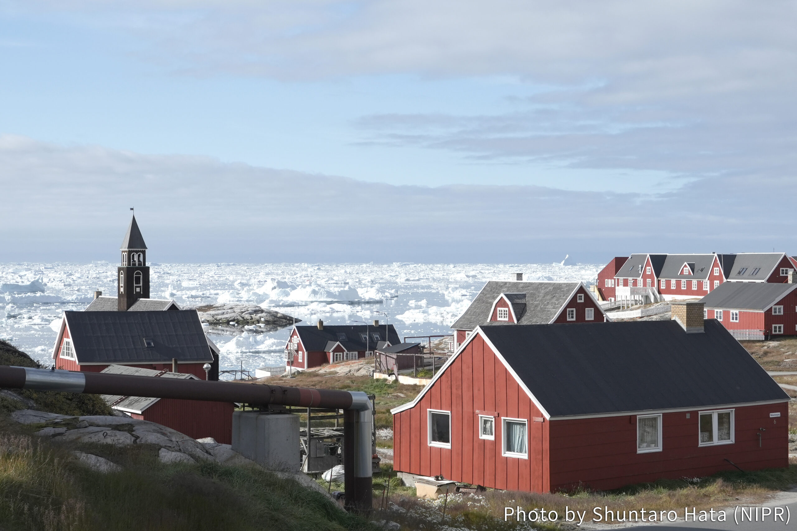
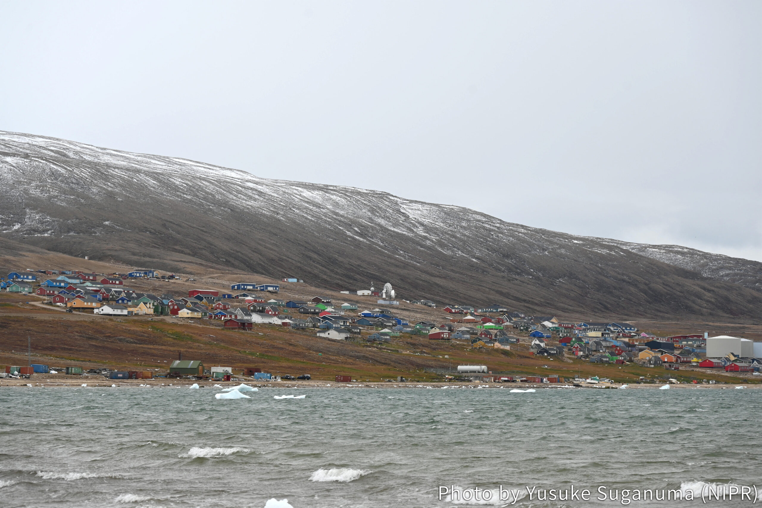
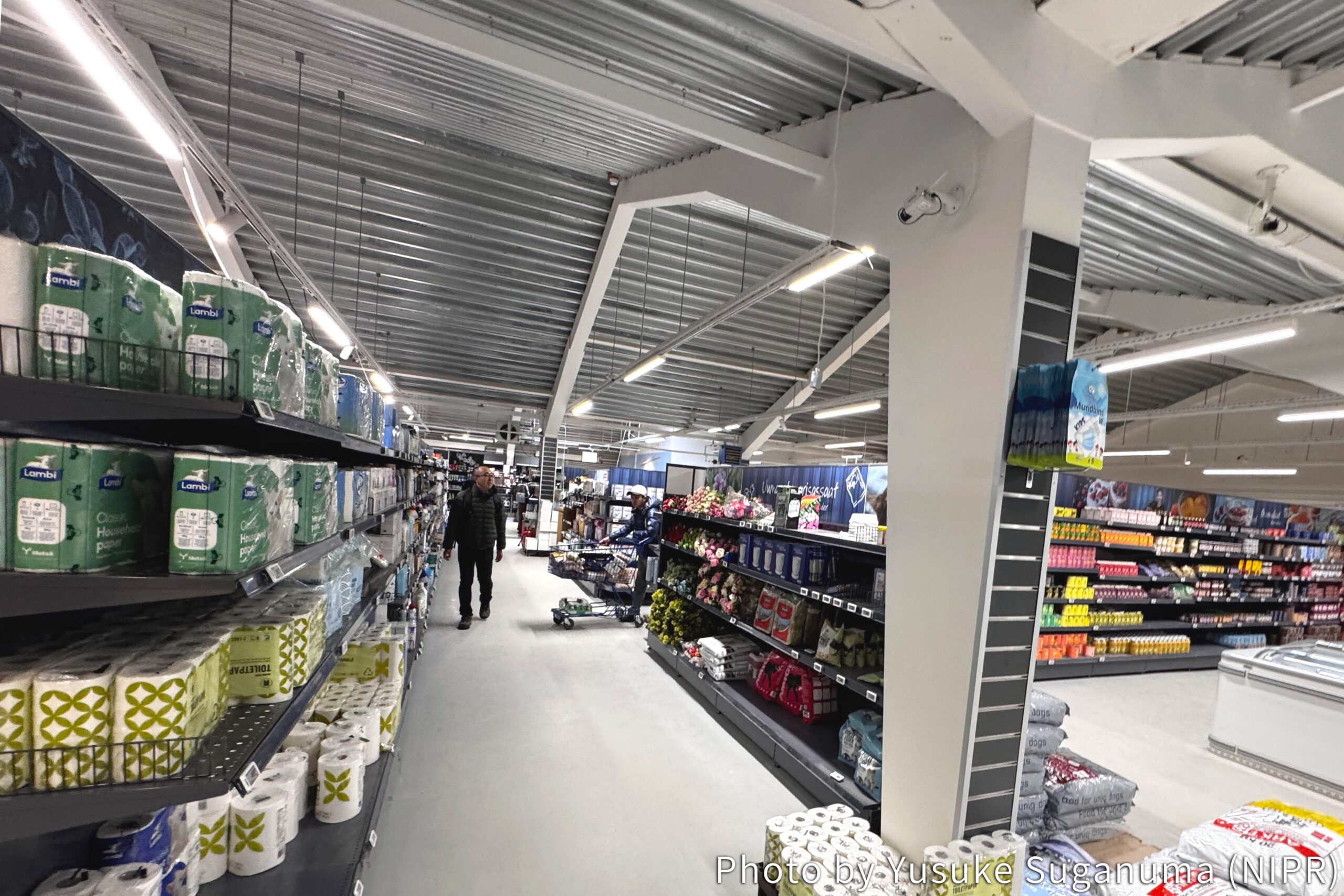
We arrived in northwestern Greenland on , by connecting flights through Frankfurt, Iceland, Ilulissat, and Qaanaaq. We were stuck in Ilulissat for two days because of the flight cancellation, where we visited Ice Fjord and town centers (Photo 1). A new runway is currently under construction at the airport, which will bring further development to this town in a few years. We experienced the challenges of traveling in Greenland firsthand when our boat trip was delayed due to the rough seas (Photo 2). I was surprised to see a greater variety and a quantity of goods in the supermarket in Qaanaaq than I expected (Photo 3). We made the final preparations for our stay in Qeqertat.
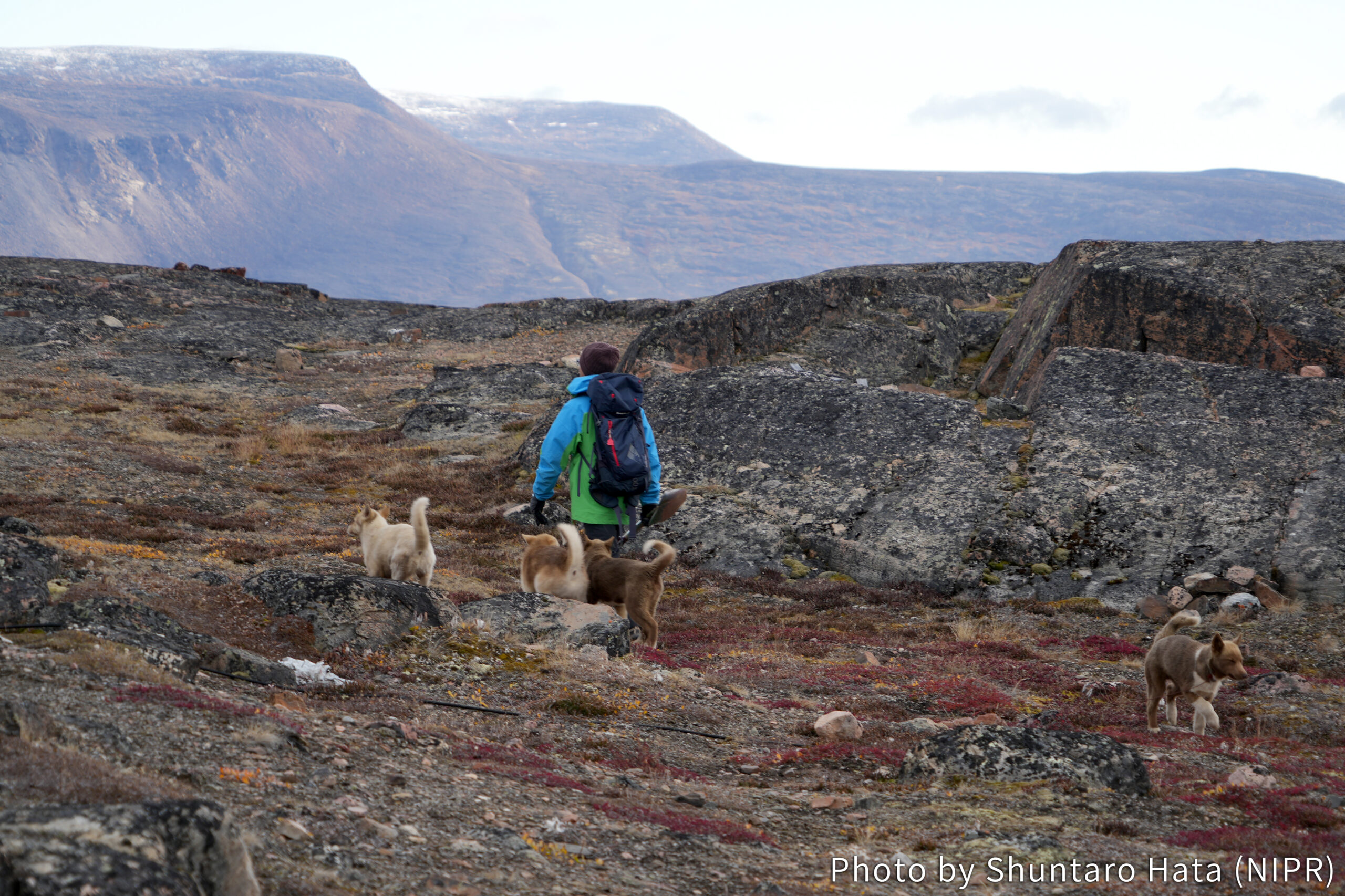
With the support of the local hunters, we finally arrived at Qeqertat on . This village is beautiful. The islands are surrounded by large icebergs, and their cracking sounds echo around (Photo 4). Although the population is 20 people, we only met several residents here. Currently, the number of people is less than that of dogs (Photo 5). In any case, the field survey is going to start with three members! One more member will catch up with us in a few days. Please look forward to the further information!